Four self-drive touring routes, based around Murrurundi, Muswellbrook, Sandy Hollow, and Scone, whilst travelling through a number of unique towns and villages. Each of the routes has been designed to let you explore the rich variety of delights that Upper Hunter Country has to offer you, no matter where you are staying in the region.
Upper Hunter Country is a big area. It is approximately 18,000 square kilometres of rich farming land, mountains, and National Parks. There is magnificent scenery with many brooks and streams, starting in the surrounding ring of mountains, winding through their valleys into the Hunter River. Native flora and fauna abound in the many ecosystems to be found throughout the region. Historic country towns, villages and hamlets are scattered throughout Upper Hunter Country.
Each drive is outlined below with links to a printable detailed version.
An A3 copy of all drives and a map are available at all Upper Hunter Visitor Information Centres.
DRIVE 1
Scone or Aberdeen to Barrington Tops
Route
Scone – Gundy – Belltrees – Moonan Flat – Barrington Tops Circuit – Moonan flat – Belltrees – Scone
Distance
210 Kms (104 kms gravel road, suitable for all vehicles)
Driving Time
3.5 hours
Download Brochure (pdf)
Note: In winter, some roads within Barrington Tops National Park maybe closed temporarily by snow. Check with Scone VIC, NPWS or police if in doubt.
Features
- Barrington Tops National Park & World Heritage Wilderness Area
- Magnificent forests
- Wildlife
- Spectacular sweeping vistas
- Picturesque rivers
- Historic homesteads
- Pastoral views
- Horse studs
- Tiny hamlets
- Delightful picnic areas
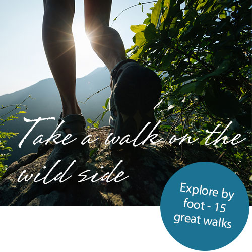
- Diverse walks
DRIVE 2
Murrurundi to Burning Mountain
Route
Murrurundi – Timor – Gundy – Scone – Towarri National Park – Wingen – Burning Mountain – Murrurundi
Distance
136 Kms (30 kms gravel road, suitable for all vehicles)
Driving Time
2 hours and 20 minutes
Download Brochure (pdf)
Features
- Historic rural towns, Villages and Homesteads
- Horse Studs
- Pastoral Scenery
- Picturesque river valleys
- National Parks, Burning Mountain
- Wildlife (sightings possible along much of the drive)
DRIVE 3
Muswellbrook to Denman
Route
Muswellbrook – Jerrys Plains – Denman – Wybong – Muswellbrook
Distance
150 Kms (all the roads are sealed (blacktop) and all weather)
Driving Time
1 hour and 50 minutes
Download Brochure (pdf)
Features
- Spectacular Scenery
- Picturesque farming countryside
- Historic country towns and villages
- Open cut mines
- Wineries
- Olive Grove
- Fish Farm
- Horse Studs
DRIVE 4
Sandy Hollow to Wollemi
Route
Sandy Hollow – Baerami – Wollemi & Goulburn River National Parks – Merriwa – Sandy Hollow
Distance
150 kms (some 30km of gravel roads between Honeysuckle Creek picnic area and the Merriwa side of Goulburn River National Park, but suitable for all vehicles)
Driving Time
3 hours
Download Brochure (pdf)
Features
- Spectacular scenery
- Sandstone Escarpments
- Goulburn River & Wollemi National Parks
- Wineries
- Country Towns
- Rural Villages
- Wildlife sightings possible along much of the drive
- Horse studs